How to track vessels over the water?
The modern radiolocation technologies can provide valuable information of the vessel’s whereabouts. By looking into the location logs, one can see if a watercraft has been on the water, either moving or moored. If the coordinates of a vessel change over the water surface, it is safe to assume that the vessel is in use.
The advanced radiolocation was the method to generate the data on the following map, where several vessels were tracked in time.
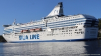
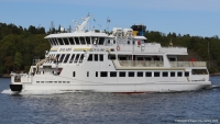
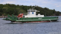
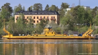
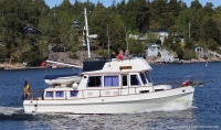
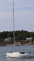
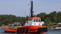
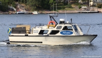
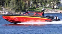
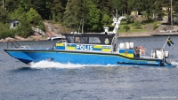
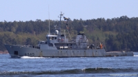
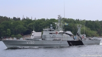
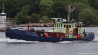
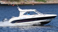
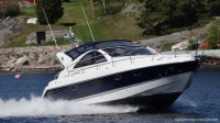
Another solid evidence for active use is a neat shot of the boat or ship over the water.